My Favourite Hikes in the Coquihalla Summit Recreation Area
Day hikes, scrambles, overnighters and trail runs—this underrated stretch of the BC backcountry has it all.

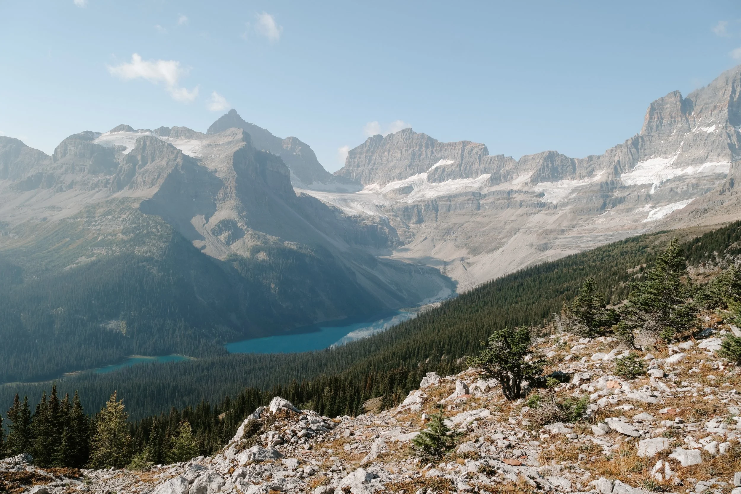
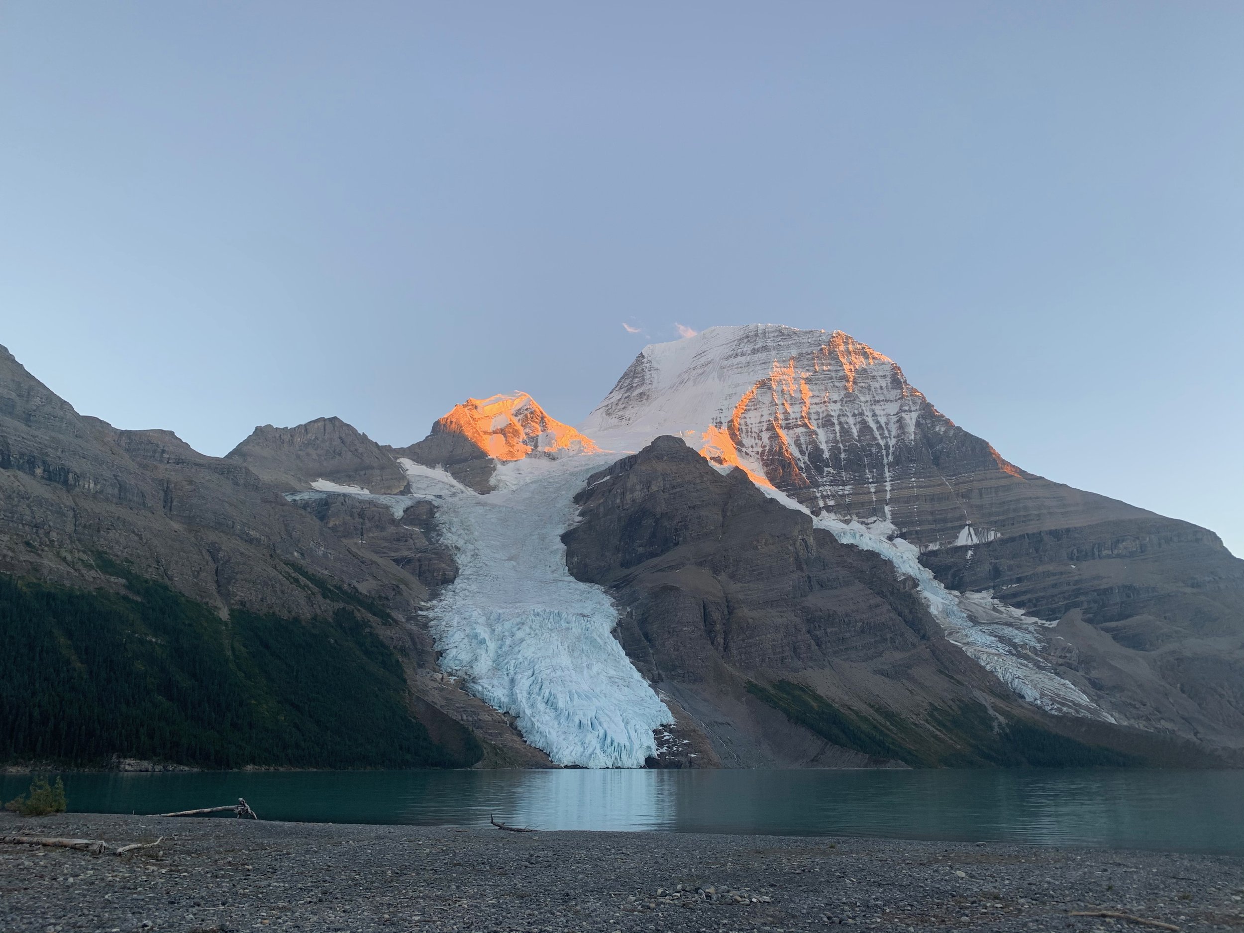
Illal Mountain, Coquihalla Summit Recreation Area BC
If you’ve driven the Coquihalla Highway between Vancouver and Kamloops, you’ve passed right through one of my absolute favourite hiking areas in BC: the Coquihalla Summit Recreation Area. Tucked between Hope and Merritt, this rugged stretch of the Coast Mountains offers a surprising diversity of trails—from mellow lakeside strolls to adrenaline-pumping scrambles and peaceful alpine meadows perfect for backcountry camping.
Over the past few years, I’ve hiked just about every major trail here and still can’t get enough. Whether you’re new to hiking or looking for a technical day out, this area delivers. Here are my go-to hikes in the Coquihalla, broken down by category so you can find your next favourite too.

Neddle Peak, Coquihalla Summit Recreation Area BC
📍 How to Get There
The Coquihalla Summit Recreation Area is accessible right off Highway 5. If you’re driving from Vancouver, it’s about 2 hours (roughly 190 km) to the Zopkios Rest Area, a central access point. From Kamloops, it’s about 1.5 hours.
Parking varies by trailhead—some start right at highway pullouts (like Yak and Zoa), while others require a few kilometres of gravel driving. Cell service is spotty to non-existent once you leave the highway, so download your maps and GPX tracks in advance.

Zupjok, Llama, Alpaca Trail, Coquihalla Summit Recreation Area BC
🏕️ Camping & Amenities
This is a wild and undeveloped area—don’t expect services, bathrooms, or stores nearby. There are a few camping options, mostly backcountry style, with no facilities.
Aside from camping, there’s nowhere to stay nearby. If you’re looking for food, there are sometimes food trucks parked at the Zopkios and Britton Creek rest areas during summer weekends. Otherwise, your best bet is Hope, BC, where I recommend Blue Moose Café for coffee and sandwiches or Home Restaurant for a hearty post-hike meal.

Illal Meadows, Coquihalla Summit Recreation Area BC
🌿 Short Hike: Falls Lake
• Distance: 2 km return
• Elevation Gain: 70 m
• Trailhead: Falls Lake exit off Hwy 5
• Camping: First-come, first-served backcountry camping at the lake
This is the perfect short hike year-round—snowshoe it in winter or stop for a quick summer dip. The trail is easy enough for beginners or kids and leads to a scenic alpine lake surrounded by steep cliffs. You can camp overnight (leave-no-trace style) but there are no amenities.
🧗♀️ Day Hike: Yak Peak
• Distance: 6 km return
• Elevation Gain: 820 m
• Trailhead: Zopkios Rest Area
• Camping: Not permitted on the route
One of my all-time favourites! Yak Peak is short, steep, and seriously thrilling. The trail climbs aggressively from the get-go, eventually leading you along granite slabs and light scrambling sections to a narrow summit with breathtaking views. The final summit push has some exposure, but most of the route feels manageable. Adrenaline junkies, this one’s for you.

Yak Peak, Coquihalla Summit Recreation Area BC

Yak Peak, Coquihalla Summit Recreation Area BC
🥾 Day Hike / All-Season: Zoa Peak
• Distance: 11 km return
• Elevation Gain: 650 m
• Trailhead: Across the highway from Zopkios Rest Area
• Camping: No formal spots, but some people bivy near the ridge
Zoa is a steady climb through forest to a wide, open alpine ridge with panoramic views. It’s popular with hikers in summer and snowshoers/ski tourers in winter. This is a more chill day out, great for beginners or mellow days.

Zoa Peak, Coquihalla Summit Recreation Area BC
🏃♀️ Trail Runs: Jupjok, Llama & Alpaca Ridge
• Distance: Varies (plan 12–18 km for a loop or out-and-back combo)
• Elevation Gain: 800–1000 m
• Trailhead: From Zopkios or off-road pullouts
If you like ridgelines, wild blueberries, and leg burners, this is the place to be. These routes are steep to start but reward you with runnable ridges and endless views. Come in late August or early September and you’ll be surrounded by wild blueberries—literally snacking as you go.

Llama Ridge, Coquihalla Summit Recreation Area BC
Alpaca Ridge, Coquihalla Summit Recreation Area BC
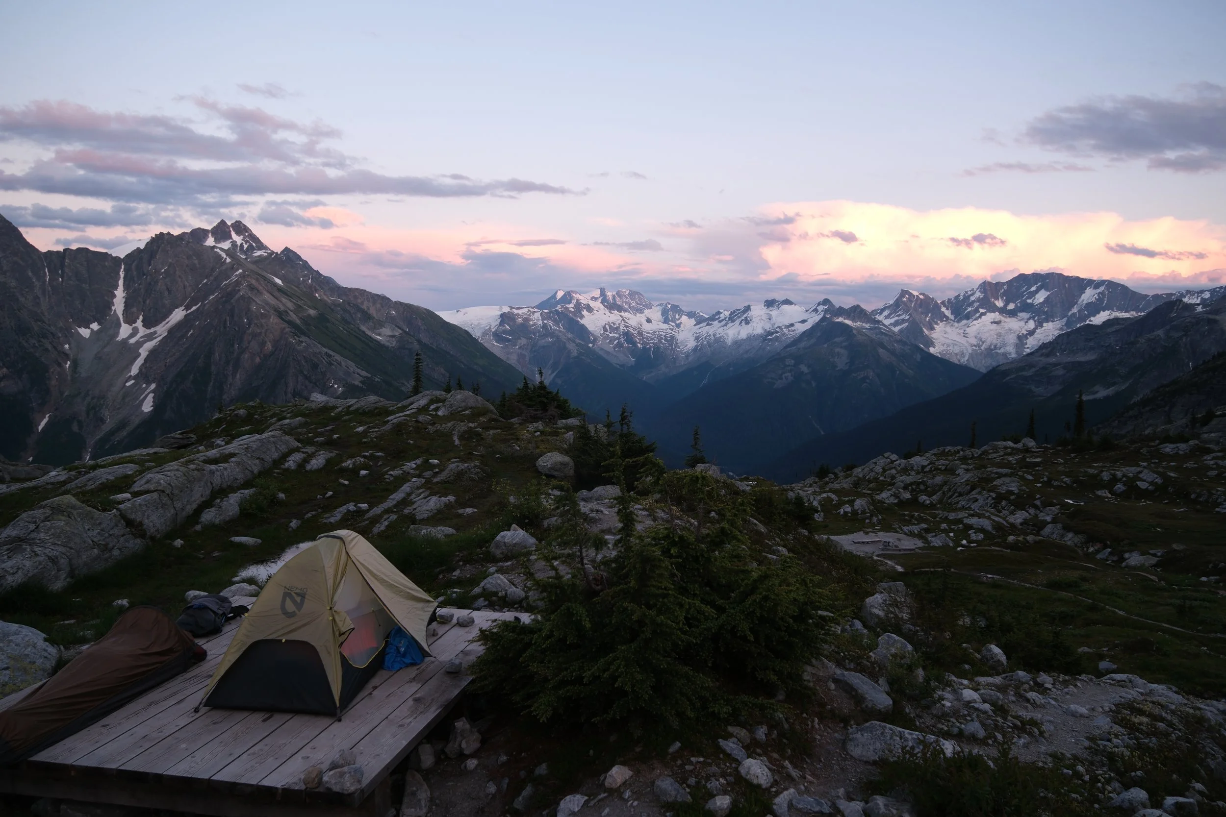
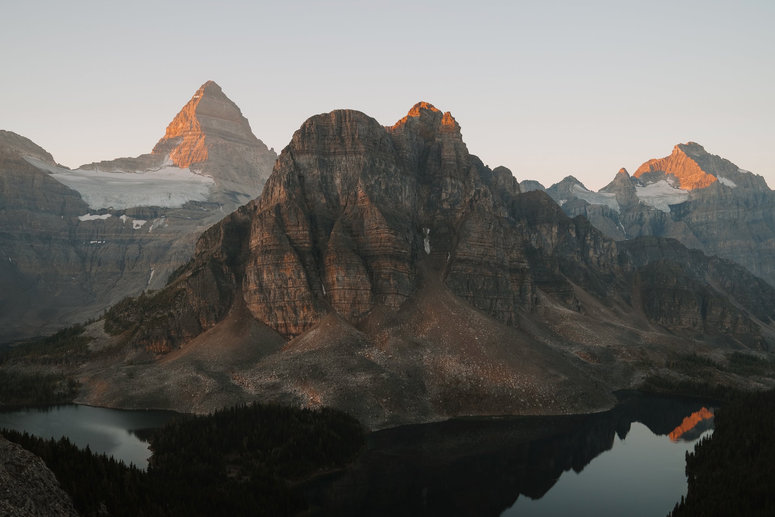
⛺️ Overnighter: Needle Peak + Flatiron with Pretty Lake
• Distance: 12–14 km return
• Elevation Gain: 900–1100 m
• Trailhead: Exit 217 (same as Falls Lake)
This is one of the most fun ridge scrambles in the area. Needle Peak offers light scrambling and big summit views while Flatiron is a more mellow nearby high point. You can basecamp at Pretty Lake and do both as day trips from there. If you’re new to scrambling, Needle is a great intro.

Pretty Lake, Coquihalla Summit Recreation Area BC

Needle Peak, Coquihalla Summit Recreation Area BC
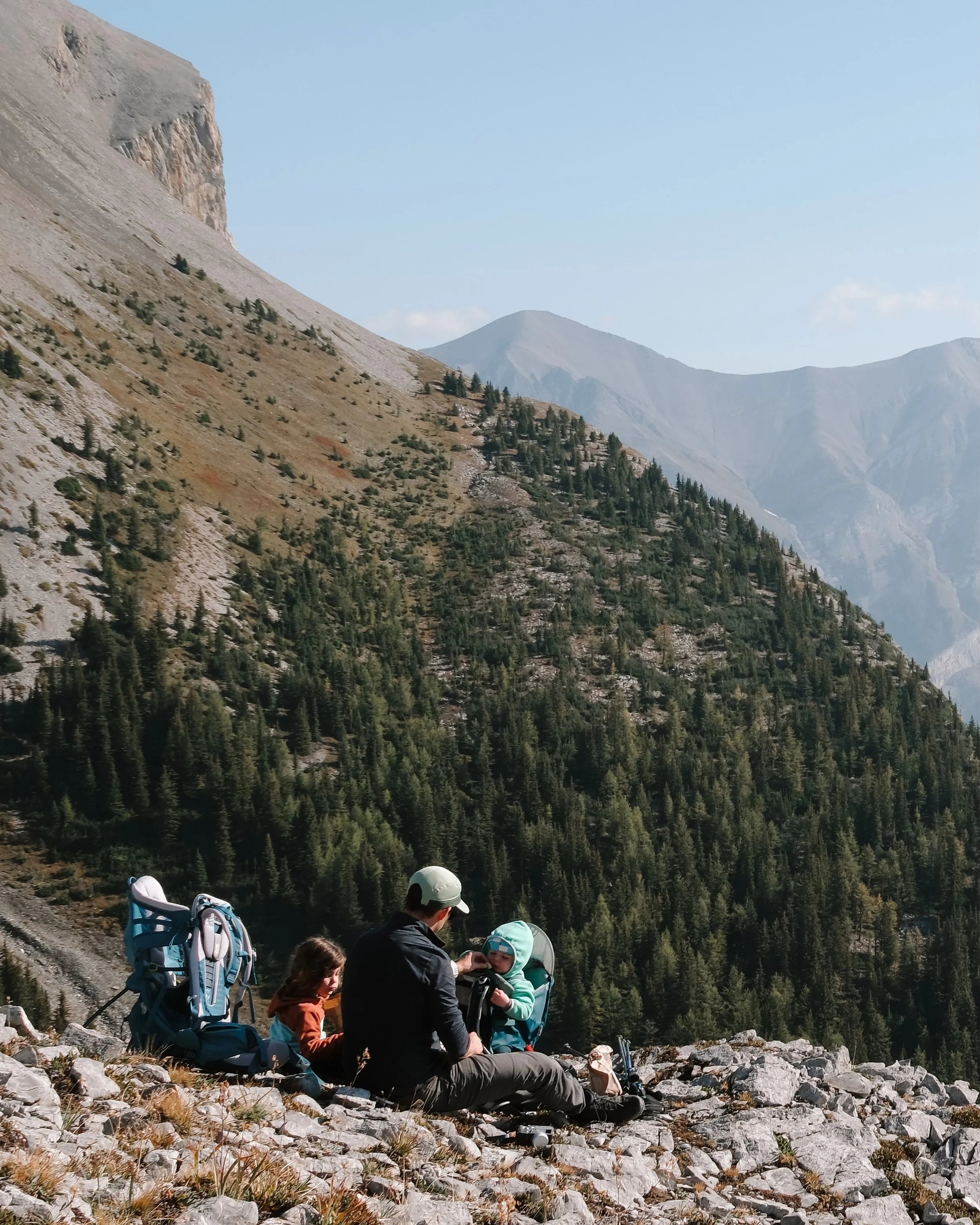
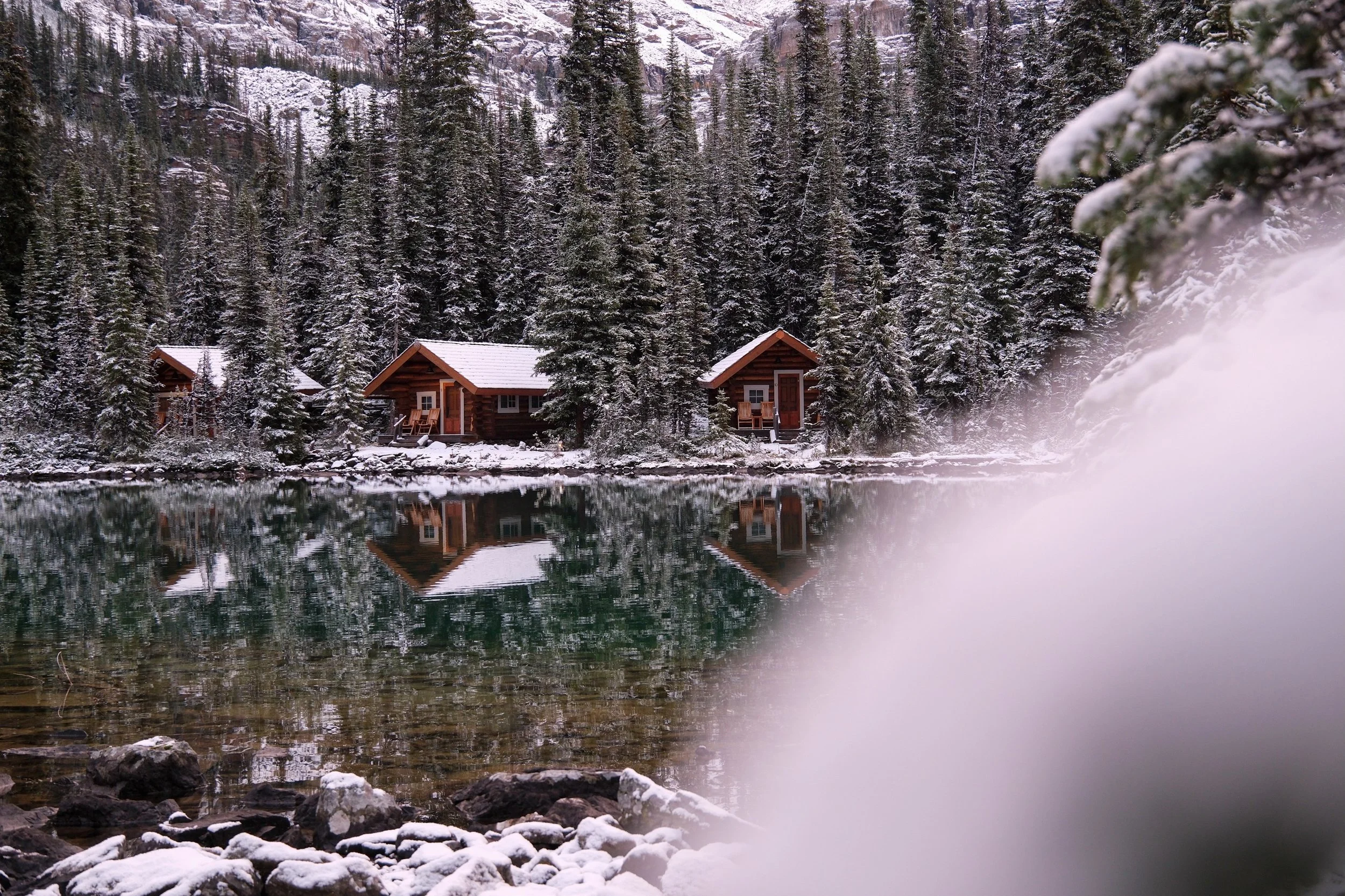
🏕️ Multi-Day: Illal Meadows
For a full report, check out my 3-day trip blog here.
Illal is stunning: wildflower-filled meadows, quiet backcountry camping, and options to summit Jim Kelly or Coquihalla Mountain. Highly recommend this one for an off-grid long weekend.

Illal Mountain, Coquihalla Summit Recreation Area BC
The Coquihalla Summit area is one of BC’s best-kept hiking secrets. With fewer crowds than the North Shore or Sea to Sky, and so many trail options to suit every style of adventurer, it’s a place I return to again and again.
If you plan a trip out here, remember:
Limited cell service
Leave-no-trace camping
Pack for sudden weather changes
Carry bear spray
Respect seasonal closures and check avalanche conditions in winter
Gear
I’ve put together a Day Hiking Checklist with a complete list of gear recommendations.
Interested in the Ultimate BC Road Trip?
Check out our complete Best of BC Guide and get ready for the trip of a lifetime!