The Best Hiking Navigation Apps in 2026
Technology has completely changed the way we explore the outdoors. Between downloadable offline maps, GPS watches and satellite communicators, it's never been easier to confidently venture into new places.
That said, no app is perfect. Phones run out of battery, devices can fail and weather can quickly turn a familiar trail into unfamiliar terrain. While navigation apps are an incredible tool, they should complement—not replace—basic backcountry navigation skills.
In this guide, I'll compare the navigation apps I use most often, explain when I use each one, and share a few additional tools that help keep us safe in the backcountry.

Planning Your Trip Before You Leave Home
One of the biggest lessons I've learned over the years is that good navigation starts long before you step onto the trail.
When we're planning a trip to a new region, I spend hours researching routes, reading recent trail reports and learning from people who know the area well. Having local insight often leads you to better hikes, quieter trails and valuable tips you won't find on a map.
When we travelled through Switzerland this summer, one resource that was incredibly helpful was The Hiking Club. Their detailed guides helped us plan our entire Bernese Oberland itinerary, from choosing hikes to understanding cable cars, transportation and logistics. If you're planning a hiking trip to Switzerland, I can't recommend their website enough.
Once I have an itinerary planned, that's when I start loading routes into my navigation apps.
My Favourite Apps
1. Gaia GPS My Go-To Navigation App
If I could only recommend one navigation app, it would be GAIA GPS.
I've been using GAIA for years and continue to pay for the Premium subscription because it's one of the best investments I've made for hiking and backpacking.
Before every trip, I download maps for offline use so I can confidently navigate without cell service. I also use GAIA to plan routes from my computer, import GPX files, measure distances and save routes for future adventures.
Some of my favourite Premium features include:
Offline maps
Satellite imagery
GPX imports
Desktop route planning
Elevation profiles
Whether we're backpacking through the Canadian Rockies or hiking in Switzerland, GAIA is almost always open on my phone.
Pros:
✔ Excellent offline maps
✔ Highly customizable map layers
✔ Great route planning tools
✔ Works well for backpacking and off-trail travel
✔ Syncs across devices
Cons:
✖ Premium subscription is required for most of the best features.
✖ The number of map layers can feel overwhelming when you're first learning the app.
✖ There is a bit of a learning curve compared to beginner-friendly apps.
Best for: Experienced hikers, backpackers, scrambling and route planning.
Cost:
Free version available
Premium: ~$80 CAD/year (varies slightly by region)

2. AllTrails+ The Best App for Finding New Hikes
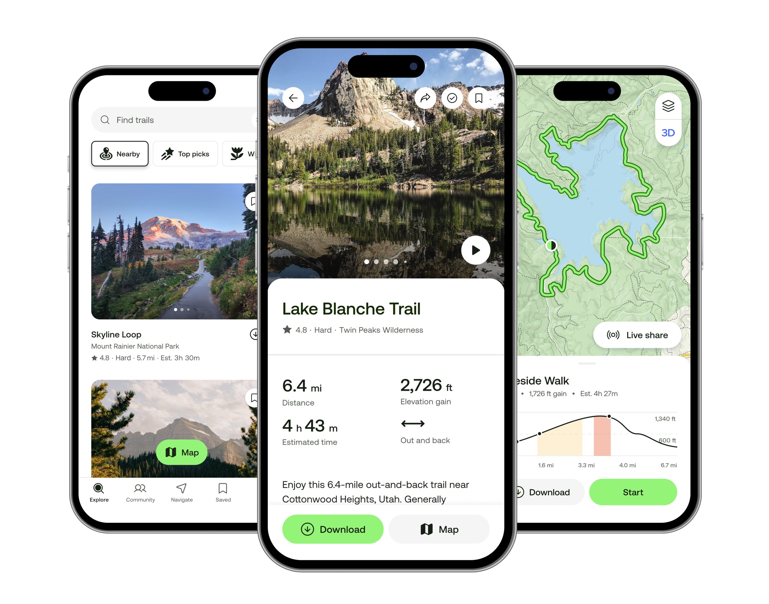
While GAIA is my navigation app of choice, I still use AllTrails regularly.
It's where I discover new hikes, browse photos, read recent trail reports and check road conditions before heading out.
The community aspect is what makes AllTrails so valuable. Seeing updates from hikers who completed the trail yesterday is often more useful than guidebooks that were written years ago.
Once I've chosen a route, I'll often recreate or import it into GAIA for navigation.
Pros:
✔ Huge trail database
✔ Excellent trail reviews
✔ Community photos
✔ Easy to use
✔ Great for beginners
Cons:
✖ Route information isn't always accurate.
✖ Trail reviews can become outdated quickly.
✖ Less useful for off-trail routes and remote backpacking.
✖ Offline maps require a paid subscription.
Best for: Discovering hikes and checking trail conditions.
Cost:
3. Organic Maps
I only discovered Organic Maps this year after it was recommended by The Hiking Club while we were planning our trip through Switzerland, and it quickly became one of my favourite travel apps.
Unlike hiking-specific apps, Organic Maps is designed for everyday travel. You simply download an entire region before your trip and then have access to walking directions, roads, trails, restaurants, grocery stores, train stations and attractions completely offline.
It became incredibly useful while exploring towns throughout the Bernese Oberland because we never had to worry about international data or finding Wi-Fi just to navigate to our hotel or the nearest bakery.
I still relied on GAIA GPS for hiking, but Organic Maps handled almost everything else.
Pros:
✔ Completely free
✔ Entire countries and regions available offline
✔ Excellent for walking around cities and towns
✔ Works without cell service
Cons:
✖ Not designed specifically for backcountry hiking.
✖ Doesn't include the advanced hiking layers found in GAIA GPS.
✖ Limited route planning compared to dedicated outdoor apps.
Best for: International travel, road trips and offline navigation around towns and cities.
Cost:
Free
4. Outmap
I've only recently started using Outmap, but I'm already impressed with what I've seen.
Outmap looks like it's going to become an excellent tool for ski touring and winter backcountry adventures.
The app focuses on mountain recreation and makes it easy to discover routes, visualize terrain and plan adventures. I can easily see this becoming a regular part of my planning process.
I'll continue updating this review as I spend more time using it.
Pros:
✔ Clean, modern interface
✔ Great mountain mapping
✔ Appears well suited for ski touring
✔ Strong community route database
Cons:
✖ I'm still testing it, so I haven't explored all of its features yet.
✖ Smaller user base than GAIA GPS or AllTrails.
✖ Better suited to mountain sports than everyday travel.
Best for: Ski touring, backcountry skiing and mountain route planning.
Cost:
Free version available
Premium features available (pricing varies)
GPS Devices for When Your Phone Dies
For multi-day trips, a dedicated GPS is a smart backup, this is what I use (there are updated models available):
Garmin inReach Mini 2 (Satellite SOS + basic maps)
Coros Pace 3 (Long battery life + breadcrumb navigation)

Digital Navigation Isn't Everything
Learn Basic Compass Navigation
Modern navigation apps are incredible, but they're only one piece of the puzzle.
Before heading into the backcountry, it's worth learning the fundamentals of map and compass navigation. Even if you rarely pull out a compass, understanding concepts like orienting a map, taking a bearing and recognizing terrain features can help you make better decisions if technology ever lets you down.
If you're looking for an approachable introduction, KÜHL has a fantastic guide on How to Use a Compass that walks through the basics in an easy-to-understand way.
My Navigation Setup in 2026
People often ask what apps and devices I actually use, so here's my current setup.
Before the trip
The Hiking Club for destination research and planning (especially Switzerland).
AllTrails to discover hikes and read recent trail conditions.
Gaia GPS to build routes and download offline maps.
While Travelling
Organic Maps for offline navigation around towns, public transit and everyday travel.
COROS Watch with my GPX route loaded for quick navigation on the trail.
Garmin inReach Mini 2 whenever we're heading somewhere without cell service.
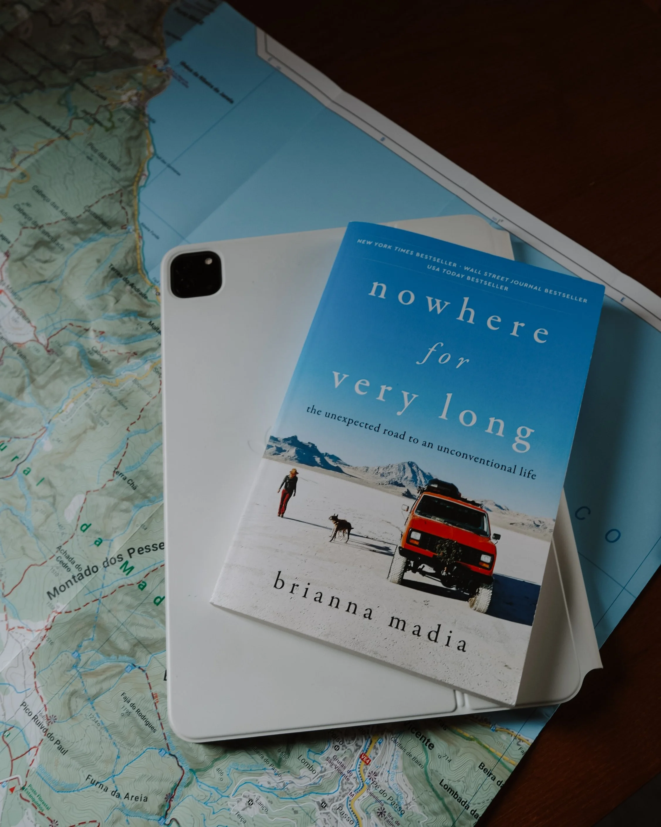
Paper map and compass as a backup on remote trips.
TORRAS Power Bank to keep everything charged.
Did I miss your favourite app? Let me know in the comments!