The Best Backcountry Skiing & Snowboarding Apps for 2025: Weather, Avalanche Safety & Navigation
Heading into the backcountry this winter? Whether you're skinning up for fresh powder or navigating complex alpine terrain, having the right apps on your phone can mean the difference between an epic day and an epic disaster.
After hundreds of days testing tech in the mountains, I’ve curated the must-have apps for backcountry skiers and snowboarders in 2025—covering weather forecasting, avalanche safety, and navigation.

Why You Need More Than Just a Beacon & Probe
Backcountry travel demands real-time data. The best apps help you:
✔ Track incoming storms (before you’re caught in a whiteout)
✔ Assess avalanche risk (with updated forecasts & slope angles)
✔ Navigate complex terrain (when visibility drops to zero)
But not all apps are created equal—here’s what actually works in 2025.
Best Weather Apps for Backcountry Skiers
1. Windy (Best for Storm Tracking & Wind Forecasts)
Why it’s great:
Compare ECMWF, GFS, and NAM weather models
Animated snow accumulation & wind maps
Free version covers most needs
Pro Tip: Set alerts for high-wind warnings—key for avoiding wind-loaded slopes.

2. OpenSnow (Best for Powder Forecasts)
Why it’s great:
Local forecaster insights (not just raw data)
10-day snow accumulation predictions
"Powder Alarm" notifications
Downside: Premium tier ($29/year) unlocks best features.
3. SpotWx (Best for Hyper-Local Backcountry Data)
Why it’s great:
Pulls NOAA & Environment Canada high-resolution forecasts
Pin any GPS coordinate for elevation-specific weather
Ideal for: Planning multi-day ski traverses.

Best Avalanche Safety Apps
1. Avalanche Canada / AIARE (Official Forecasts)
Why it’s great:
Direct feeds from avalanche forecast centers (Canada & U.S.)
Terrain evaluation tools (slope angle shading, aspect risks)
Critical: Always check before and during your trip—conditions change fast.

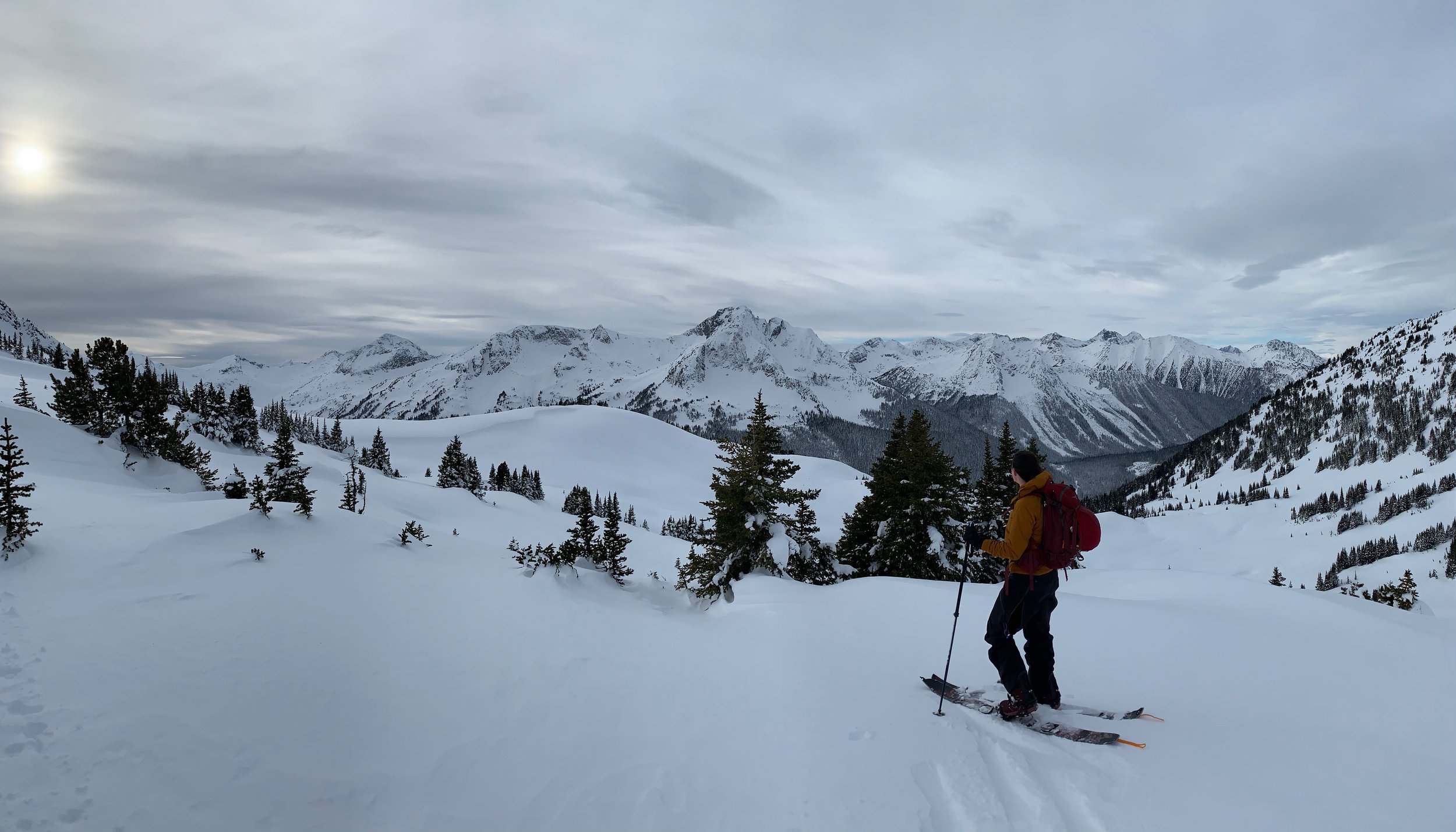
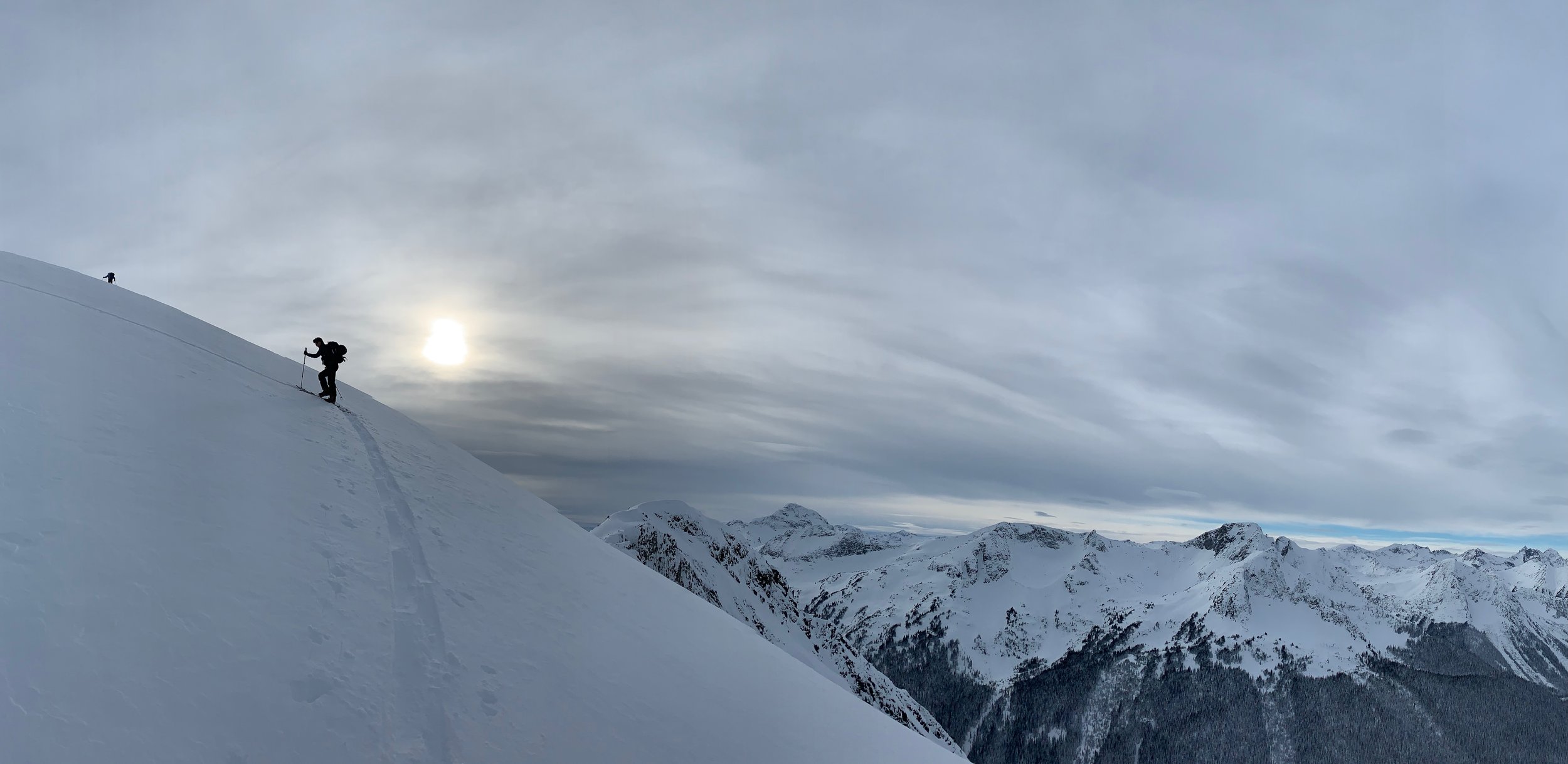
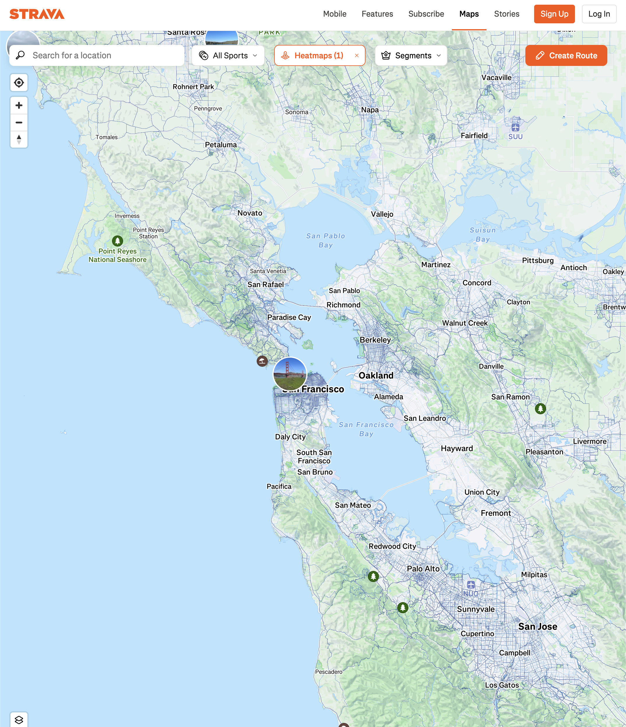
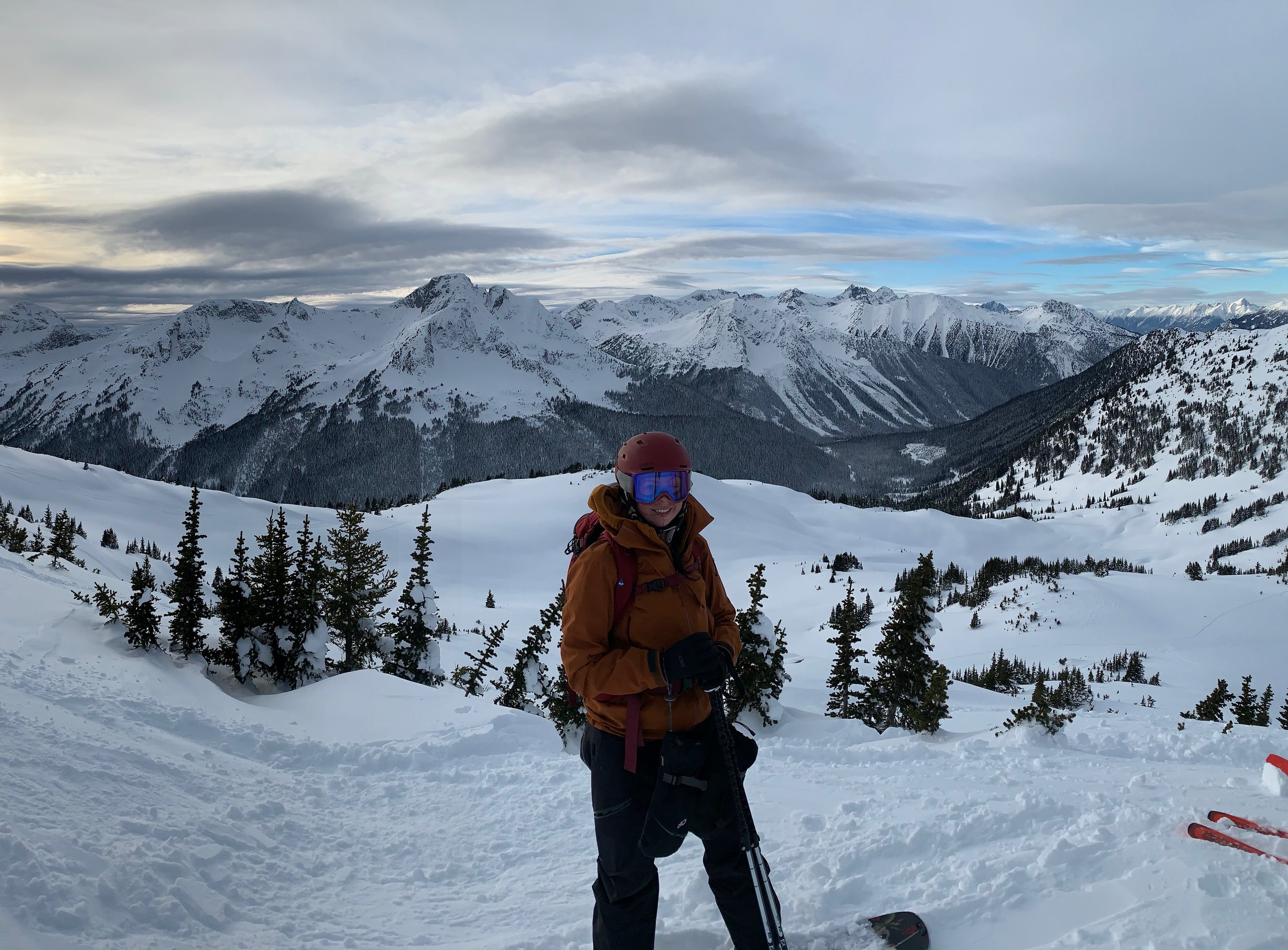
2. Strava (Best for Slope Angle & Terrain Planning)
Why it’s great:
3D slope angle maps (identify 30°+ avalanche terrain) [via FATMAP integration]
Group safety tracking with real-time location sharing
Crowdsourced ski tracks show recent traffic patterns
Pro Tip: Use the "Avalanche Terrain" overlay in planning mode.
Best Navigation Apps for Backcountry Skiing
1. Gaia GPS (Best for Custom Backcountry Maps)
Why it’s great:
Ski-specific map layers (USFS, CalTopo, slope shading)
Record tracks & share routes with partners
Works fully offline
Must-Download: The "Avalanche Terrain" overlay.

2. CalTopo (Best for Printing & Advanced Planning)
Why it’s great:
Print custom ski tour maps with slope angles
Collaborative trip planning (share with your group)
Pro Use: Set "Avalanche Runout Zones" in planning mode.

3. Backcountry Access (BCA) T2 App (Best for Beacon Practice)
Why it’s great:
Simulates beacon searches (good for training)
GPS waypoint marking for snow pits & obs
Critical: No substitute for real beacon practice!
Bonus: Must-Have Utility Apps
Uphill Athlete (Fitness tracking for ski touring)
Snocru (Crowdsourced Ski Conditions)
Pro Tips for Using Apps in the Cold
✅ Keep your phone warm (inner pocket + airplane mode)
✅ Download offline maps the night before
✅ Carry a backup battery (Nitecore NB10000 is ultralight)

The Ultimate Backcountry App Stack
Weather: Windy + OpenSnow
Avalanche Safety: Avalanche Canada + Strava (Previously FATMAP)
Navigation: Gaia GPS + CalTopo
Training: BCA T2 (for beacon practice)
Did I miss an app you love? Drop it in the comments!