The Best Weather Apps for Hiking in 2025: Reliable Forecasts for North America’s Wildest Trails
When you’re heading into the backcountry, an accurate weather forecast isn’t just helpful—it can be a lifesaver. But not all weather apps are created equal, especially for mountain hikes, alpine climbs, and remote wilderness trips.
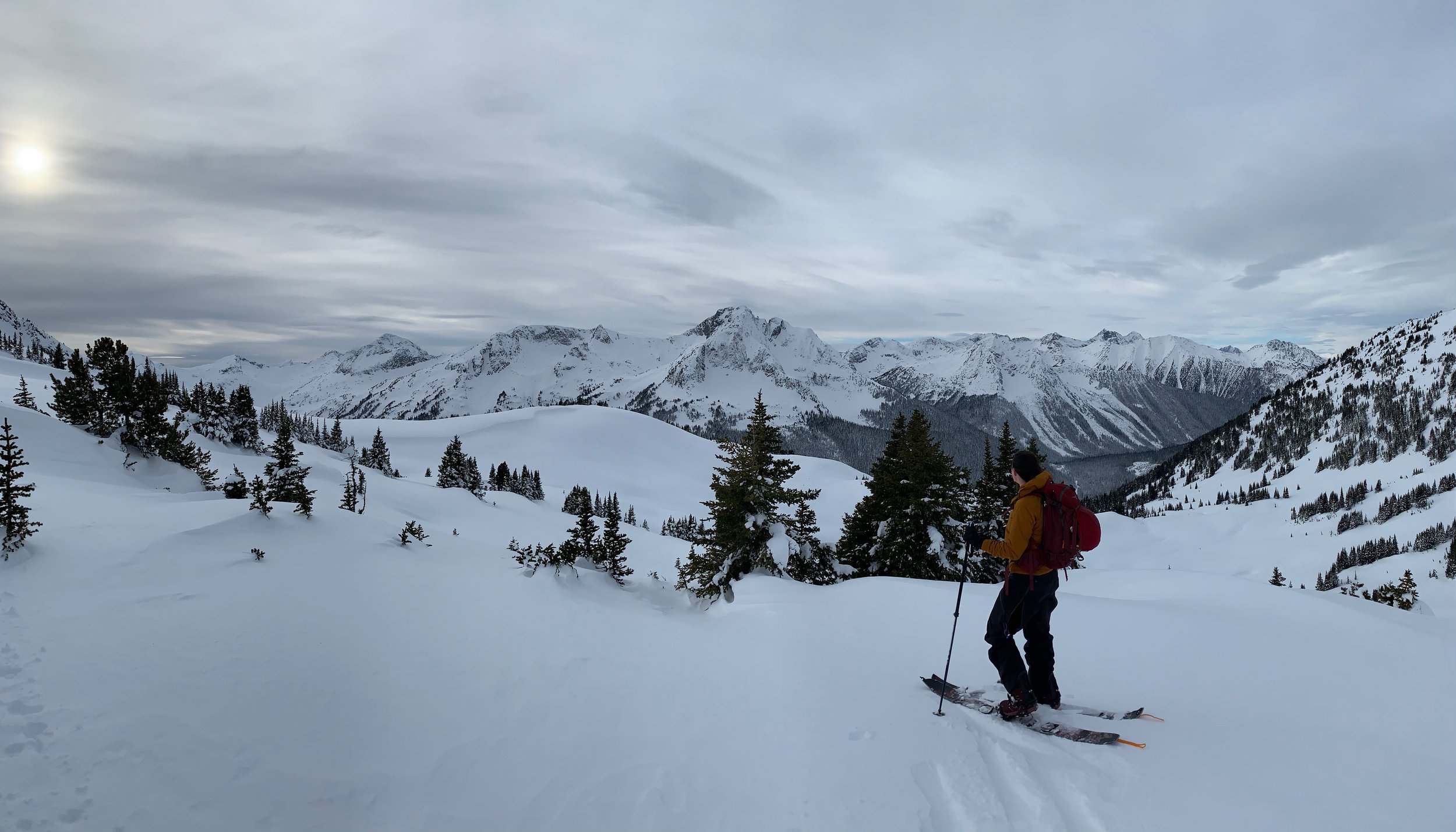
After years of testing forecasts against real conditions, I’ve narrowed down the best weather apps for hikers in 2024, with a focus on North America’s most unpredictable terrain. Whether you’re trekking in the Rockies, the Sierra Nevada, or the Appalachians, these tools will help you make smarter, safer decisions.
Why Regular Weather Apps Fail Hikers
Your phone’s default weather app pulls data from the nearest town—not the mountain pass you’re climbing. That’s why you need hyper-local, elevation-adjusted forecasts designed for the backcountry.
Key Features to Look For:
✔ High-resolution mountain forecasts (not just city data)
✔ Hourly wind, precipitation, and temperature breakdowns
✔ Radar and satellite overlays
✔ Offline functionality (no service? no problem)

The Best Weather Apps for Hikers in 2025
1. Mountain-Forecast (Best for Peak-Specific Data)
Best for: High-altitude hikes (e.g., Rockies, Cascades, Sierra).
Why it’s great:
Elevation-based forecasts (select any summit)
Simple, no-frills interface
Trusted by mountaineers worldwide
Downside: Limited to major peaks, no radar.
Cost: Free.

2. WeatherCAN (Best for Canada – Official Gov’t Data)
Best for: Canadian hikers (Banff, Jasper, Coast Mountains, etc.).
Why it’s great:
Environment Canada’s most accurate forecasts
Severe weather alerts
Offline mode
Downside: Only covers Canada.
Cost: Free.
3. NOAA Weather Radar & Alerts (Best for U.S. Backcountry)
Best for: U.S. hikers needing NOAA’s gold-standard forecasts.
Why it’s great:
Official National Weather Service data
Detailed precipitation and storm tracking
Works offline
Downside: U.S.-only, no elevation adjustments.
Cost: Free.

4. SpotWx (Best for Custom Backcountry Forecasts)
Best for: Long-distance backpackers and off-trail explorers.
Why it’s great:
Pulls raw NOAA & Environment Canada data
Pinpoint any location (even remote coordinates)
Multiple forecast models to compare
Downside: Not as user-friendly as others.
Cost: Free.

5. Windy (Best for Wind & Storm Tracking)
Best for: Alpine climbers, backpackers, and anyone who needs real-time wind and storm data.
Why it’s great:
Multiple forecast models (ECMWF, GFS, NAM)
Animated wind, rain, and snow maps
Customizable alerts for severe weather
Downside: Steeper learning curve than basic apps.
Cost: Free (premium version removes ads).


How to Get the Most Accurate Forecast
Compare multiple apps (e.g., Windy + Mountain-Forecast).
Check the night before & morning of—mountain weather changes fast.
Look for trends (e.g., increasing wind, dropping temps = storm coming).
Always prepare for the worst—even if the forecast looks perfect.

Final Verdict: Which App Should You Use?
For most hikers: Mountain-Forecast
For U.S. trips: NOAA Weather Radar
For Canadian adventures: WeatherCAN
For deep backcountry: SpotWx
Did I miss your favourite app? Let me know in the comments!